Existing aerial site image by Waterfront Toronto
McCleary District Plan, Toronto, ON
SpruceLab is supporting the development of the McCleary District Plan by providing Indigenous placekeeping and urban design services, including planning and leading co-design workshops with First Nations and local Indigenous artists and designers. This 50 acre area is in the Toronto Port Lands, bounded by Lake Shore Blvd, Logan Ave. Commissioners St., and the Don Roadway. It will be a new neighbourhood built at Toronto’s waterfront in future decades as a complete community, with a mix of uses and amenities (including a large park), high rises and mid-rise buildings, enhanced public realm, and well-served by transit. Situated north of lands that service the film and creative industry, McCleary District will help support economic development and a “live, work, play” balance. Our work is focused on the 21.5 acres that are owned by the City of Toronto and CreateTO, as this is where local government will have the most impact and investment. This work builds on the Port Lands Planning Framework and Central Waterfront Secondary Plan (CWSP). For more information about the McCleary District Plan project, including earlier work by the consultant team, see here.
Services
First Nations Engagement
Indigenous Engagement
Urban Design
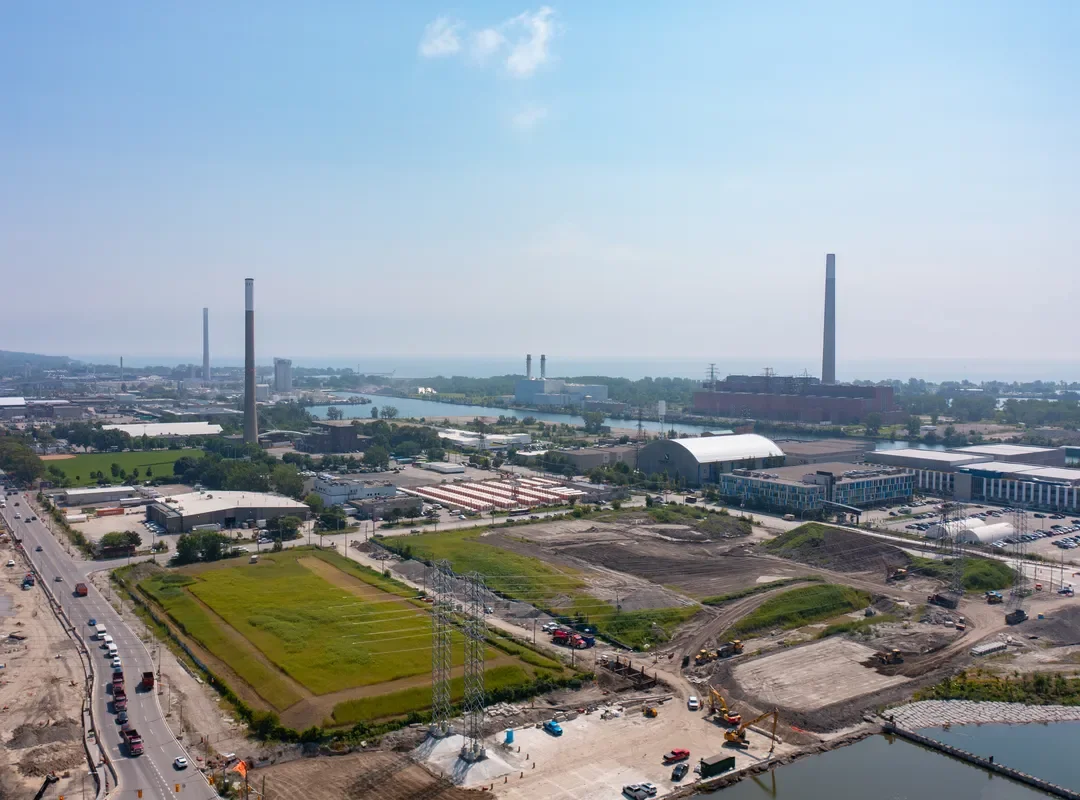
Aerial view looking East (source: CreateTO)
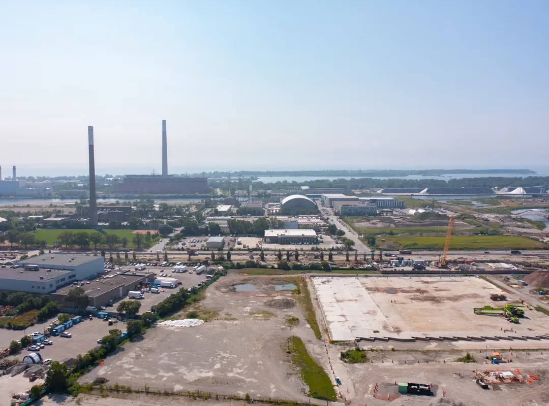
Aerial view looking West (source: CreateTO)
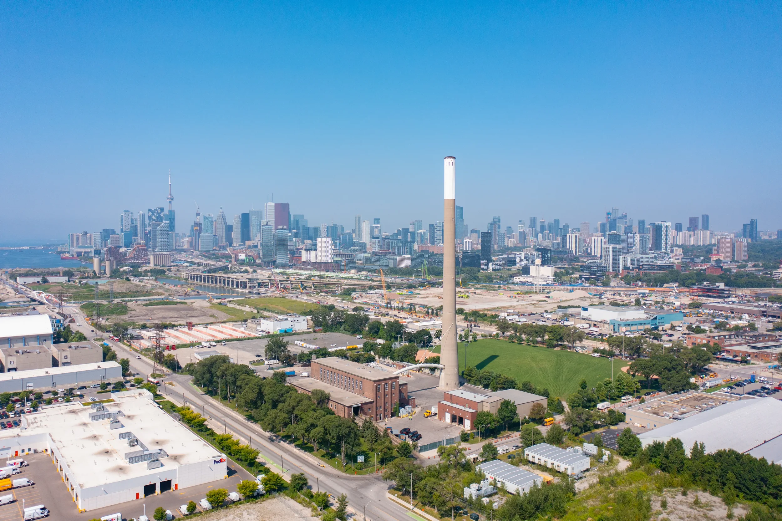
City view (source: CreateTO)