The Meadoway Visualization Toolkit
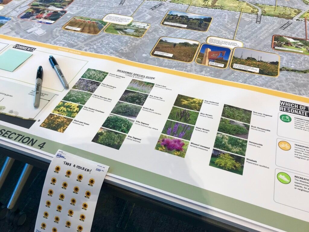
The Meadoway is a 16 km linear park that will transform the Gatineau Hydro Corridor over the next 7 years, connecting the Don River in the east of Toronto, to the Rouge Urban National Park (Rouge River) in the west. The project builds on successful meadow habitat restoration and community-based projects led by Toronto and Region Conservation Authority (TRCA), and will help address the need for improved connectivity of ecosystems and people. The Meadoway Visualization Toolkit is a unique and multi-faceted interactive community engagement project integrated into the environmental assessment for the trail. The project is funded by the W. Garfield Weston Foundation, in partnership with the City of Toronto, and was invited to join the prestigious High Line Network.
Sheila (as Senior Landscape Architect, TRCA) was the design lead for The Meadoway Visualization Toolkit, co-wrote the request for proposals to create the project, and contributed to the development of the earlier work led by Perkins + Will, in partnership with Future Landscapes Design + Visualization (responsible for creating all of the imagery used in the toolkit). This project received a 2020 Canadian Society of Landscape Architects National Award of Excellence for Planning and Analysis.
Before (Source: TRCA)
(Source: TRCA)
(Source: TRCA)


